
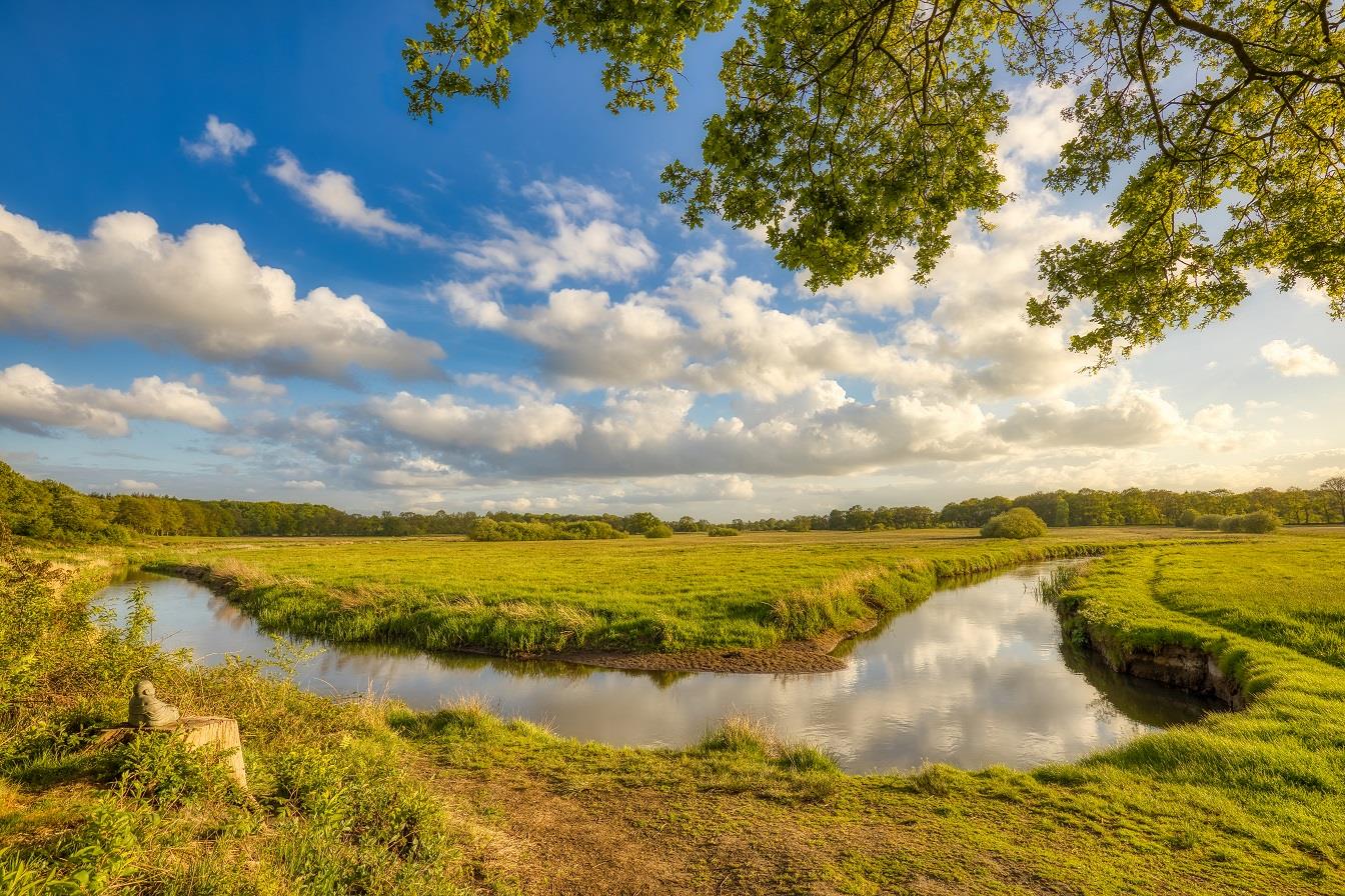
The catchment area of the Drentsche Aa is the ‘common thread’ of this route. Drentsche Aa is the collective name for a network of winding streams in central and northern Drenthe, including the Oudemolense Diep, Taarloosche Diep, Looner Diep and Rolder Diep.

The Drentsche Aa is one of the last intact stream valleys in the Netherlands. The Stroomdallandschap Drentsche Aa landscape reserve was established in 1965 to preserve the area’s natural wealth and, where possible, restore it. The reserve covers a total area of around 3,800 hectares.
You can cycle the route using the numbered cycle junctions (knooppunten):
60 -> 62 -> 89 -> 39 -> 67 -> 68 -> 11 -> 16 -> 23 -> 66 -> 69 -> 70 -> 73 -> 71 -> 76 -> 77 -> 91 -> 98 -> 92 -> 60
But you can also follow the octagonal ANWB signs.
Along the way there are many beautiful sights, such as:
Scheebroeker Loopje
At the Scheebroeker Loopje, north of Anderen, you can still clearly see the typical pattern of meadows separated from each other by wooded banks. The stream valleys from the Scheebroek to the Rolder Diep are part of the Drentsche Aa stream valley reserve.
Anloo
Around Anloo’s church green, planted with oaks, limes and beeches, stand several fine Saxon farmhouses. The whole ensemble is a protected village conservation area. The tuff-stone nave of the imposing church was built around 1100, making it probably the oldest church in Drenthe. The tower is two centuries younger. In the Middle Ages the Etstoel, the highest court in Drenthe, met in this church every year to administer justice, which made Anloo an important place. Every August a play based on the Etstoel is performed in this church (church open to visitors Mon–Sat). At the unstaffed Homanshof information centre (Lunsenhof 20, 9467 PM) you can find out more about the unique stream valley system of the Drentsche Aa.
Kniphorstbos
North of Anloo the route passes through the Kniphorstbos. This former heathland was bought and planted with trees by the Kniphorst family of notaries in the mid-20th century. In the 1930s the Ministry of Defence bought a large part of the area. But the enormous wealth of dolmens, burial mounds, medieval cart tracks, boundary markers (stones and ditches) and other cultural-historical features eventually led the ministry to withdraw from the area.
Zeegse
In Zeegse, originally a farming village, life now revolves mainly around recreation. The surrounding woods and drift sands were spared from large-scale land reclamation. Today it is a valuable nature and recreation area that is also rich in traces of prehistory.
De Zwaluw corn mill
Just before Oudemolen stands the De Zwaluw corn mill. There was already a watermill on this spot in 1579. De Zwaluw was built in 1837 and can be visited whenever the flag is flying.
Poepenhemeltje
If at junction 23 you briefly cross the bridge over the Deurzerdiep (towards 9) and immediately turn left onto the footpath, you reach the remains of Van Galen’s small redoubt, better known by the amusing name ‘Poepenhemeltje’. The notorious Bishop of Münster, ‘Bommen Berend’ (Bernhard von Galen), had this small earthwork thrown up when his troops had to spend the night here on the banks in 1672. The bishop’s army was on its way to besiege the city of Groningen and made camp on the bank of the stream. Groningen withstood the siege, supported by the government of Drenthe, which had fled to the city. The name possibly comes from the word poep, a term used in the northern Netherlands for mof (an old nickname for a German).
Kampsheide
The Kampsheide was bought in 1947 by the Stichting Het Drentse Landschap foundation. Sheep graze on the heath. The pool was created by peat cutting. The nature reserve is fringed by deciduous woodland, and burial mounds make the area archaeologically interesting.